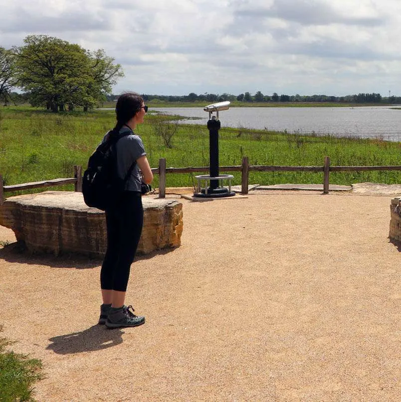
With over 400 parks, preserves, and natural areas to choose from on the Openlands Get Outside Map, discover new places and ways to enjoy nature in the Chicago region. Explore using either the Map View or Grid View below.
Utilizing trails is the easiest way to enjoy our region’s natural landscape. Find peace and solitude or share an experience with family and friends while you run, bike, or hike in natural serenity!
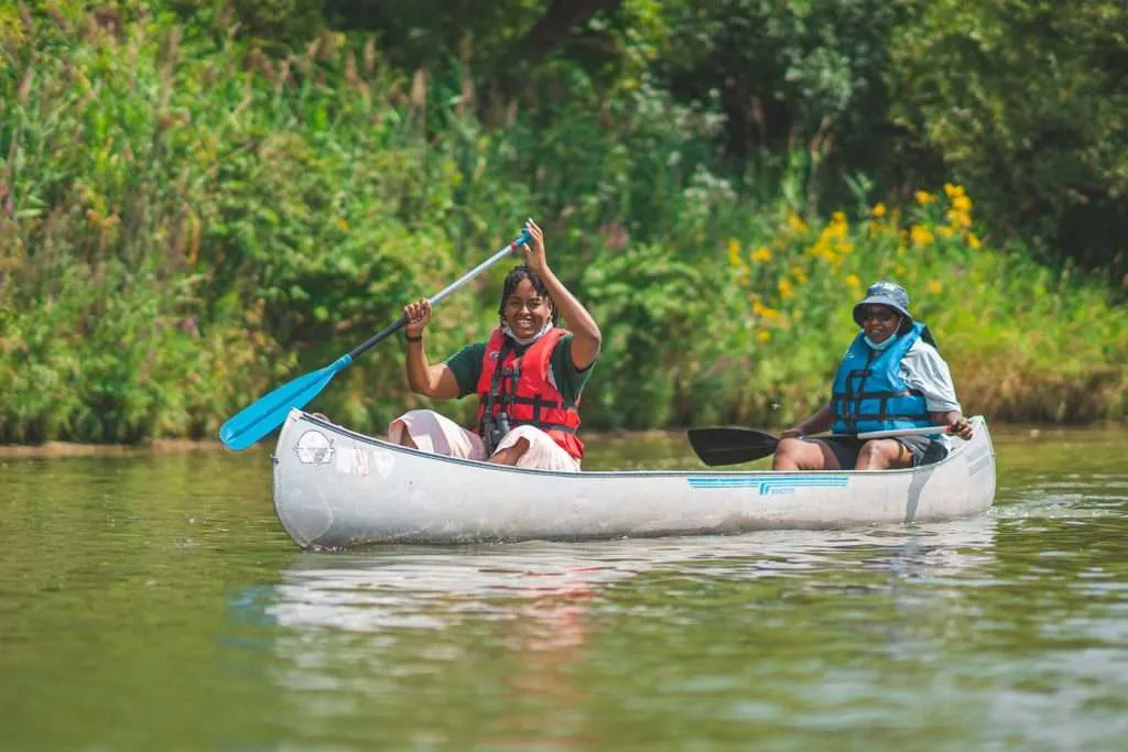
An interactive guide to the Northeastern Illinois water trails system, which encompasses 10 waterways, ranging from creeks that flow through densely wooded forest preserves to the skyscrapers of downtown Chicago.
Funding for the Openlands Get Outside Map is generously provided by the Grand Victoria Foundation and the Central Indiana Community Foundation.
Connecting people to nature where they live.
As innovative protectors and stewards of the land since 1963, Openlands exists to create access to nature for all. Through local alliances, forward vision, and persistent action, Openlands connects and leads conservation work, serving as a guiding voice for communities, organizations, and more effective policy in northeastern Illinois and the surrounding region.